

our new logo for Climb for Kids by Mairi McGuire
A few weeks ago, I put out a brainstorming post on ways that adventure travel could be used to fundraise for non-profits.
I have learned that to raise money for any project or cause, you need to have an idea that really captures people’s imagination. It is a very competitive market out there and your idea really needs to stand out if you are going to attract funding.
Now, after a few weeks of planning and consultation, we are ready to announce a new venture that will raise money for Christie Lake Kids – a wonderful foundation here in Ottawa that provides recreation experiences for low-income kids throughout the year.
At Christie Lake Kids we believe the experience of growing up in poverty does not define a person or limit their potential. We build physical, social and character skills in children facing barriers associated with poverty through Transformative Recreation experiences.

We will be working with Exodus Travel who have really taken to the idea of adventure travel as a way of fundraising for organizations. Their philosophy, as stated on their web page is a good indication that these are people willing to take adventure travel in a new direction.
It is all about adventure. That is what Exodus was founded upon and what the company is still all about. Discovering countries, cultures, environments, cities, mountain ranges, deserts, coasts and jungles; exploring this amazing planet we all live on.

The plan is to trek through the Rainbow Mountains of Ausangate a truly beautiful part of the world.
So, the adventure begins. We want to make this a great trip for all involved, first, of course, to raise money for Christie Lakes Kids but equally important, we want to make this a wonderful adventure for the people who will be our team of fundraisers. This way we can have an experience that will continue into the future.
Are you interested? Send me a note at mcswa1@gmail.com and we will get in touch.


Itinerary
-
DAY 1
Start Cuzco (3400m); free time to acclimatise.
Set amidst hills in the Andes, the Imperial City of the Incas, Cuzco (3,400) was the geographic, cultural and political centre of a vast empire which, at its peak, stretched from present day Quito in Ecuador to Santiago in Chile. After the Spanish conquistadores invaded the city they started building on top of the Incan structures, resulting in unique architecture, a fusion of the Incan and Spanish colonial styles.
The group flights usually arrive in the mid-afternoon, giving time to wander the cobbled streets admiring the old houses, visiting its interesting museums, churches and pre-Columbian buildings, or to sit in a café and sample a coca-tea.
It is recommended to take it easy upon arrival into Cuzco and to drink plenty of water to allow your body time to acclimatise to the altitude (3,400m).
There will be a welcome briefing in the hotel lobby this evening.
Hotel San Agustin Plaza / Eco Inn (or similar)
-
DAY 2
Four ruins acclimatisation walk, including Sacsayhuaman, Qenqo, Puka Pukara and Tambomachay.
The hills above Cuzco city are dotted with some of the most interesting Inca ruins. We drive to the highest, Tambomachay, and return on foot to Cuzco via Puca Pucara, Qenco and Sacsayhuaman: an easy acclimatisation walk to get used to the altitude. An open-air picnic lunch is included during the hike near the spectacular ruins. The day walk is about 7km in total.
A packed box lunch is included today.
Hotel San Agustin Plaza / Eco Inn (or similar)
Meals included:Breakfast,LunchDistance covered: 7 km / 4 miles -
DAY 3
Free day in Cuzco.
Free day in Cuzco to relax and further acclimatise before starting the trek. A range of optional activities and sightseeing excursions can be arranged, including visits to Inca and pre-Inca sites south of Cuzco, or walks in the hills surrounding the city but we recommend taking it relatively easy in order to adjust to the altitude in preparation for the start of the trek tomorrow. Please see the Optional Activities section in the Trip Notes for further details and prices.
Hotel San Agustin Plaza / Eco Inn (or similar)
Meals included:Breakfast -
DAY 4
Drive to trailhead at Chillca; short walk to first lodge (4368m); traditional music performance.
We drive for approx. 4 hrs by coach beside the Vilcanota River, stopping en route to visit the temple of Checacupe, then the upper valley of Pitumarca. When we reach Japura, we leave the transport behind and trek a short distance to Chillca – our first tambo (mountain lodge). We will be greeted by people from the local communities, usually playing Andean instruments, and there’s the chance to try some coca tea.
Comfortable Eco Lodge (Tambo)
Meals included:Breakfast,Lunch,DinnerDistance covered: 3 km / 1 milesActivity (hours): 1.5
Andean Lodge Trek, Peru -
DAY 5
Trek past glaciated mountains, waterfalls and llama territory to Machuracay (4814m), at the foot of sacred Mt. Ausangate.
After breakfast, we trek alongside huge herds of alpacas and llamas in the glacial valley of Phinaya. We will ascend past the Pjachaj waterfalls and come to more glaciers at Santa Catalina. We continue walking for roughly five hours amidst huge walls of glacial moraine, and passing glaciers and glacial lagoons to reach Machuracay Tambo. Our bags, carried by a llama caravan, meet us there and the family that runs the lodge will welcome us.
Comfortable Eco Lodge (Tambo)
Meals included:Breakfast,Lunch,DinnerDistance covered: 15 km / 9 milesActivity (hours): 5-7
Andean Lodge Trek, Peru -
DAY 6
Over the Palomani Pass (5150m) to Anantapata (4750m) via the ‘Nevado del Inca’ sandstone formations.
Today we take in our first mountain pass (5,150m) from the top of which we are rewarded with spectacular panoramic views. Descending alongside the glaciers, we trek to the Ausangate Cocha Lake for lunch. After lunch, we see a stark contrast in the landscape as we enter a region of red sandstone sediment formations. Here, we will usually see vicuñas (a smaller relative of the llama) and sometimes condors can be seen soaring overhead. We stay at Anantapata Tambo tonight.
Comfortable Eco Lodge (Tambo)
Meals included:Breakfast,Lunch,DinnerDistance covered: 12 km / 7 milesActivity (hours): 5-7 -
DAY 7
Follow an isolated trail through multi-coloured mountains to Huampococha (4800m).
After breakfast, we set off along a trail towards another mountain pass. Dropping down, we walk past Lake Kayrawiri, surrounded by rugged mountain peaks and the great valley below. Striations of colour are embedded in the hillsides (a geologists dream). Then we go on to Cerro Laya Grande via the extensive Glacier del Inca, and the most striking colours in the sediments of Yauricunca. We take lunch here amidst this unique landscape. On our way to our last lodge, we should see Andean geese nesting in the cliffs of Anta. Just before reaching Huampococha Tambo we pass the flat iron formations of Apu Labrayani.
Comfortable Eco Lodge (Tambo)
Meals included:Breakfast,Lunch,DinnerDistance covered: 12 km / 7 milesActivity (hours): 5-7 -
DAY 8
Cross the Anta Pass and descend to the valley where the trek ends; transfer to Cuzco.
We wake to fantastic mountain views and set off on our final walk. A steady climb brings us over our final pass, the Anta Pass. We descend from the pass and encounter some peculiar looking shapes of limestone – formations of Cretaceous age. We hike here until the end of the trail in Trapiche, where we have lunch before returning by bus to Cuzco.
Hotel San Agustin Plaza / Eco Inn (or similar)
Meals included:BreakfastDistance covered: 11 km / 6 milesActivity (hours): 4-6 -
DAY 9
Visit Pisac market and the fortress of Ollantaytambo in the Sacred Valley; continue by train to Aguas Calientes.
Today we visit the magnificent Sacred Valley of the Incas, including the incredible ruins at Pisac and the fortress of Ollantaytambo. From Ollantaytambo we take the train to Aguas Calilentes (the town below Machu Picchu).
The Sacred Valley, which runs along the Urubamba River near Cuzco, is the true heartland of Incan culture and tradition, which is still strong today. The high-Andean scenery is dotted with old towns and villages dating back to pre-Columbian times. The ruins of the Citadel at Pisac guarded a road from the lowlands and gives way to a picturesque landscape of terraces carved into the solid rock itself. Whilst the Inca ruins at Ollantaytambo give you a sense of the scale of what is to come as huge stone terraces scale the valley sides. This was the royal estate of Inca Emperor Pachacuti as well as being of religious and defensive significance.
Hotel Casa Andina (or similar)
Meals included:Breakfast -
DAY 10
Guided tour of Machu Picchu; return to Cuzco by train and by road.

Machu Picchu ruins Cuzco, Peru One of the highlights of the trip is the visit to the greatest ruin in the world, the lost city of Machu Picchu. This is one of the architectural and engineering marvels of the ancient world, in a mountain setting of staggering immensity. The Spaniards never found it; the Incas left no records about it, so Machu Picchu remains a great enigma, a city lost for centuries in the jungle until it was rediscovered in 1911 by the American historian Hiram Bingham.
We wake early to make the short bus journey up the winding road to the ruins (approx 30 mins). Your leader will give you a two/three hour guided tour of the ruins and afterwards there will be free time to explore at your leisure. There are some spectacular walks around the site that you may wish to do, including following the path to the Inca Drawbridge or even up to the Sun Gate for that iconic view of the ruins.
In the afternoon we take the train back to Ollantaytambo, from where we continue the remainder of the way to Cuzco by road.
Hotel San Agustin Plaza / Eco Inn (or similar)
Meals included:Breakfast -
DAY 11
End Cuzco.
-
The tour ends after breakfast. The group flights depart Cuzco this morning.
Meals included:Breakfast
Altitude charts
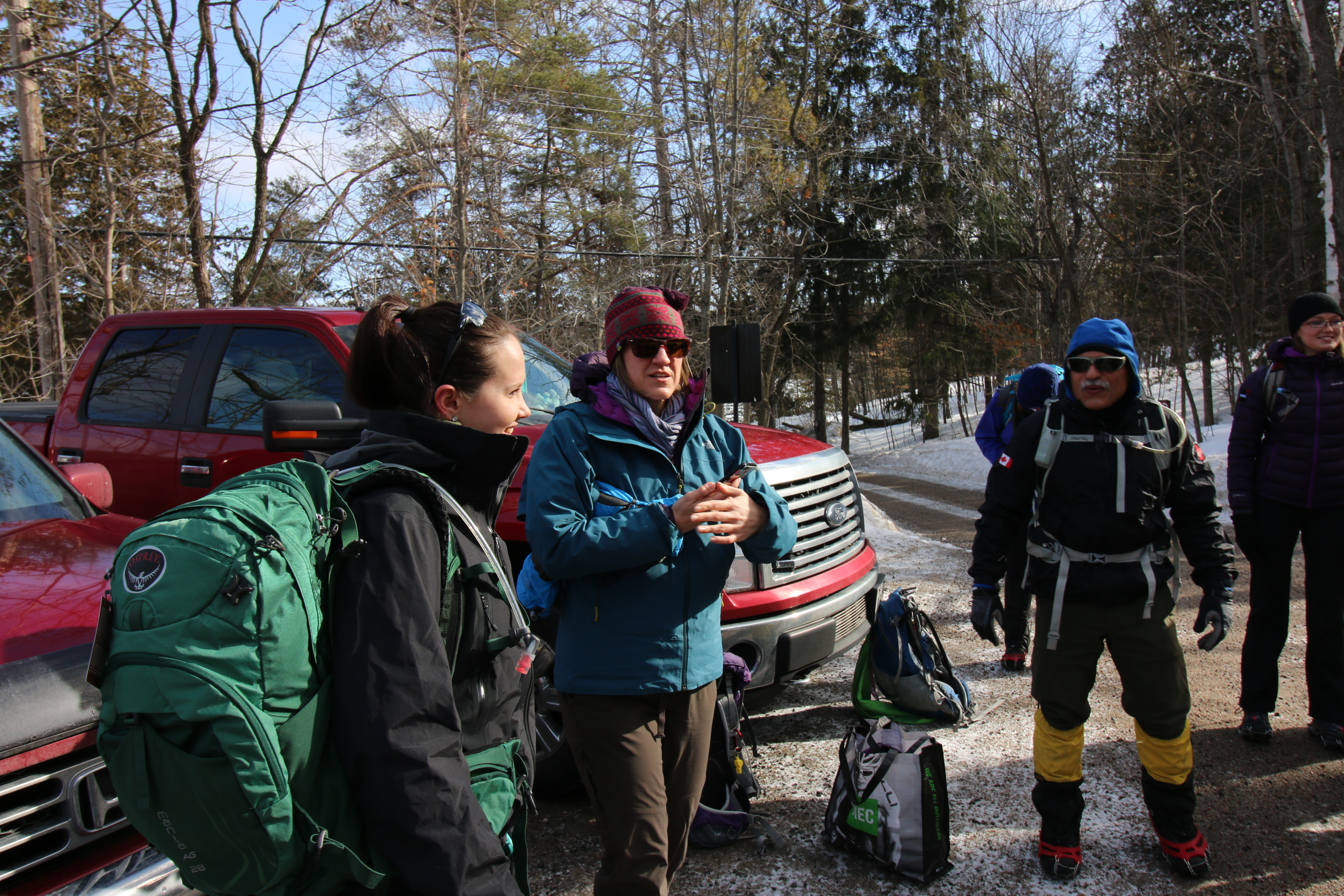
Our ESRI Story Map
We will update this story map as Climb for Kids! develops throughout the year.

-


Extend Your Trip
Amazon Rainforest extension (from Cuzco)
Easily accessible via a short flight to Puerto Maldonado from Cuzco, the Amazon is the world’s largest rainforest and home to an astonishing array of wildlife, as well as countless plant species. Spending three nights at a lodge in the incredibly rich Tambopata Reserve, we use motorised canoes to explore its lakes and rivers, and follow jungle trails to discover its dense forests.The detailed itinerary can be found here.
Please ask your sales consultant for more details.
Lake Titicaca extension
Journey across the spectacular high altiplano to Lake Titicaca, the world’s highest navigable fresh water lake (3,800m). Explore its waters by boat and visit the descendants of the Uros Indians who live on floating reed islands, and are also known for producing fine textiles. Back on the mainland we visit the pre‐ Incan site of Sillustani, comprised of burial towers with fantastic views over the region. The Titicaca Extension is only available after your main tour as we do not recommend arriving straight into Puno due to the altitude.


